

Answer
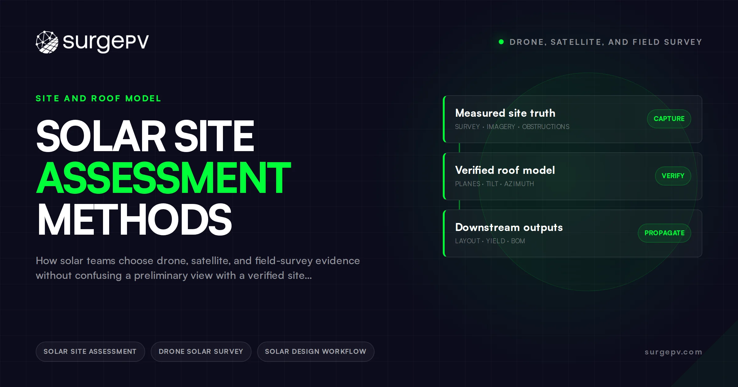
Use satellite imagery to screen opportunity, a drone or site visit to resolve geometry and visible constraints, and qualified inspection for conditions that images cannot prove. Choose a lawful, safe method that produces evidence fit for the next decision; a sensor or visit alone does not establish verified geometry or site suitability.
Satellite imagery is useful for deciding whether a solar opportunity deserves more work; it is not proof that a site is ready to build. A drone can add detail, and a field visit can resolve questions that neither image source can answer. The operating rule for installers and EPCs is to match the assessment method to the decision, record its limits, and avoid converting an early image into an unspoken construction assumption.
This is a desk-research workflow guide. It does not replace local aviation rules, site safety controls, structural or electrical assessment, utility requirements, authority review, or professional judgment. No public reference verifies an individual roof; identify which question each observation answers and what remains unresolved.
What Each Assessment Method Can Actually Prove
Site assessment fails when teams speak about “the survey” as if all evidence had the same weight. A customer-supplied roof photo, public aerial imagery, a drone capture, and a technician’s measurements have different dates, viewpoints, limitations, and legal conditions. The useful question is not which is best in the abstract. It is what a reviewer can responsibly conclude from each source.
| Method | Strong use | Important limit | Typical next decision |
|---|---|---|---|
| Satellite or aerial imagery | Initial roof shape, surrounding context, early obstruction screening | May be dated; cannot prove dimensions, access, condition, or electrical facts | Is a preliminary scenario worth preparing? |
| Customer-supplied media | Explaining the customer’s view and identifying visible equipment | Perspective and date may be unclear; omissions are common | What should the assessor inspect? |
| Drone imagery | Documenting visible roof features from safe stand-off positions | Requires lawful, safe operation; still cannot certify hidden conditions | Does the provisional layout need revision? |
| Field survey | Access, measurements, visible equipment, practical constraints | Must be scoped; a visit is not automatically a structural or electrical approval | Can the team release the next defined deliverable? |
| Specialist assessment | Questions outside the normal sales or design scope | Needs named responsibility and acceptance criteria | Who is competent to sign off the issue? |
The FAA’s commercial-operator guidance explains the US Part 107 route and links operational and airspace requirements. It does not determine the route for every aircraft or operation. Check the applicable operating category, airspace, operator requirements, and site permissions through the responsible process. Outside the United States, different national and local rules apply. Record the applicable route rather than copying a foreign checklist.
Begin With a Decision Statement
Before booking a visit, write a sentence that names the decision and the evidence threshold. “Check the roof” is not a decision statement. “Determine whether a preliminary rooftop scenario may be shown with roof dimensions and service capacity marked provisional” is one. So is “confirm whether the proposed array area conflicts with rooftop plant access before layout issue B.”
The statement prevents over-surveying and under-surveying. A sales screening may only need enough information to decide whether to request bills and propose a conversation. A permit package needs a much higher evidence standard. A construction release has a different one again. When those stages are blurred, teams either dispatch too early or make commitments on data that was only suitable for a lead conversation.
An assessment request should name: the intended deliverable; the site identifier; documents already reviewed; questions to resolve; safety and access arrangements; responsible person; required photographs or measurements; and conditions that require the assessor to stop and escalate. This is a better handoff than a calendar invitation with an address.
Use Satellite Data as a Screening Layer
Remote imagery is fast because it can be reviewed before anyone travels. It is helpful for spotting large roof planes, nearby trees, parapets, carports, rough access routes, or obvious shade sources. It also helps the sales, design, and operations teams discuss the same visible context. It does not make a measurement, roof condition, ownership boundary, service rating, or utility export position true.
Judge remote-derived dimensions against source quality and the intended decision; an image scale or automated outline needs an appropriate verification basis before it is treated as confirmed. Imagery dates matter. A roof may have been re-covered, an HVAC unit added, a tree removed, or a neighboring development built since capture. Perspective matters too: a feature that appears minor in a nadir image may create a meaningful clearance or access conflict on site.
For a commercial lead, add a short confidence note beside the early layout: “roof geometry derived from imagery; plant, roof condition, and access not verified.” This is not defensive wording for its own sake. It tells the customer and the internal reviewer what the drawing can and cannot support.
A drone photo, orthomosaic, point cloud, and interpreted roof model are different outputs. Ask which processing, reference system, coverage, and validation support the dimensions used. LiDAR does not by itself guarantee that every obstruction is represented accurately. Retain the source and uncertainty of any height or position that could change the decision; a fixed default is not a measurement.
PVsyst’s shading documentation distinguishes distant horizon shading from near-object shading requiring a detailed 3D scene. Screening a roof footprint and preparing that scene can require different evidence.
Plan Field Work Around Evidence, Not Habit
A reliable site visit is a targeted evidence collection exercise. The assessor should not be sent to “get everything” without knowing why each item matters. The list below separates common evidence classes; exact needs depend on jurisdiction, building type, system scope, and the professional roles involved.
| Evidence class | Examples to capture | Why the design team needs it |
|---|---|---|
| Roof and array area | Plane boundaries, penetrations, rooftop equipment, drainage paths, marked exclusions | Tests whether the proposed layout is physically plausible |
| Access and safety context | Routes, controlled areas, edge conditions, equipment locations, site rules | Supports safe planning and identifies issues needing specialist review |
| Electrical context | Service equipment identifiers, labels, visible ratings, meter position, photos requested by the engineering process | Prevents a concept from becoming an unsupported electrical assumption |
| Shading context | Obstacles, relative position, seasonal observations, adjacent construction plans if available | Identifies where analysis needs better inputs |
| Customer operations | Operating hours, planned roof work, restricted dates, equipment replacement plans | Connects technical choices to real project constraints |
| Evidence provenance | Capture date, person, location, file naming, uncertainty notes | Lets another reviewer judge what the record means |
Do not ask an assessor to make conclusions outside their competence. A photo of a roof does not establish structural capacity. A panel label may inform a later qualified review but is not automatically a completed electrical design. The project record should say “observed,” “customer stated,” “planning assumption,” or “verified by the responsible role,” rather than compressing all information into a misleading green status.
Keep Site Evidence Connected to the Design Conversation
Bring an assessment package to a SurgePV demonstration and ask how the evaluated workflow would retain source context, provisional inputs, and revised outputs.
Book a DemoUse a live walkthrough to discuss the evidence handoffs in your own workflow.
Decide Whether a Drone Adds Information
Drone imagery is valuable when it will answer a named question more safely or clearly than ground observation and when the operating plan is lawful. For example, it may document visible rooftop congestion, help distinguish an obstruction from a shadow in older imagery, or capture a viewpoint that assists a qualified reviewer. It should not be ordered because “drone survey” sounds more complete.
Set a pre-flight question list. Examples: Is there an unmodeled roof level? Are the apparent skylights actually skylights? Is the array area interrupted by equipment not shown in base imagery? Is there a visible pathway conflict that needs the site team’s input? If the answers would not change a decision, the flight may add cost and data without reducing risk.
The drone record still needs provenance: date, location, operator, relevant permissions, file location, and a note on what cannot be inferred. Keep privacy, site access, and safety requirements within the proper operating process. Never imply that a visual capture is a structural report, a code approval, or permission to proceed.
Turn Findings Into a Controlled Handoff
The value of an assessment is lost if photos remain in a chat thread and the design file contains different assumptions. Close each assessment with a short decision log. It should name what changed, what remains unknown, who owns each open item, and which output may now be issued.
Use three statuses for significant inputs:
- Confirmed for this stage: a named source supports the intended use.
- Scenario assumption: the team may explore it, but it must remain visible in the output.
- Release blocker: the named affected activity cannot be released until the required evidence and responsible review are complete. Safety or project directions may require a broader stop.
For Solar Designing, evaluate how sources and statuses would be maintained rather than assuming automatic evidence control. Software does not inspect a roof or replace responsible review.
Section 6.4 of the 2018 NREL PV and storage O&M guide discusses document versions, change history, and retained equipment and inspection records. Carry findings into the current roof obstruction register and reconcile them with the affected model revision. This lifecycle documentation guidance is not construction approval.
A Practical Escalation Matrix
| Finding | Do not do | Better next action |
|---|---|---|
| Roof condition appears uncertain | State that the roof is suitable | Request appropriate owner documentation or qualified assessment |
| Inaccessible obstruction affects layout | Guess a clearance | Mark the assumption and obtain targeted imagery or site evidence |
| Service information is incomplete | Select final equipment from an estimate | Route the question to the responsible electrical workflow |
| Site rules conflict with the planned visit | Proceed informally | Rebook with required access and safety arrangements |
| Customer asks for a firm yield or savings promise | Treat early inputs as final | Explain the input limits and show only a properly qualified scenario |
Frequently Asked Questions
Is a drone survey required for every solar project?
No. Choose a lawful, safe method with evidence fit for the next decision. A drone may be useful for specific visible questions, but it introduces operating, permission, and data-management responsibilities.
What should a solar site survey report include?
It should identify the site, purpose, source files, captured observations, unanswered questions, limitations, and the recommended next action. The exact technical content must reflect the jurisdiction and responsible professional roles.
Can remote imagery support a customer proposal?
Yes, as long as the proposal clearly distinguishes scenario inputs from confirmed conditions. It should not imply that imagery alone verified roof, electrical, structural, access, utility, or authority requirements.
Who owns unresolved site questions?
Assign each one to a person or role, a required evidence type, and a decision date. “To be confirmed” without an owner is not a workable control.
Put the Method Behind the Promise
For the next project, do three things: write the next decision before selecting the assessment method; store the source and limitations beside each important input; and issue outputs only at the evidence level they can honestly support. That discipline improves communication before it improves speed.
Evaluate the Assessment-to-Design Handoff
Bring the source package and unresolved site questions to a SurgePV demo and evaluate the workflow against your handoff needs.
Book a DemoSources
Primary research and reference material used for this desk-research article.
Where this fits
This article is part of SurgePV's Solar Business & Operations hub, which works through the topic from first principles to the decisions a project team actually has to make.
