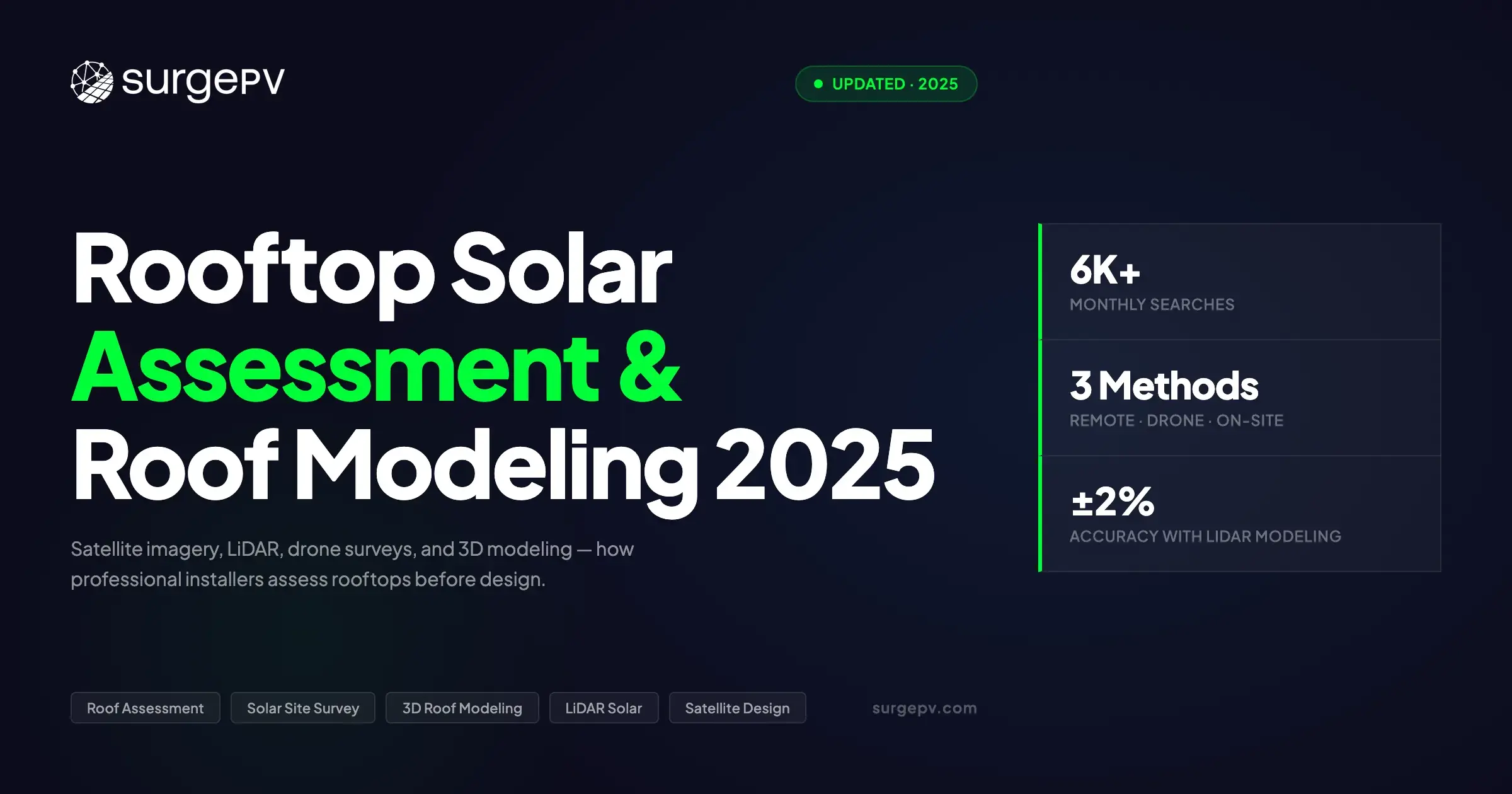
A solar design is only as accurate as the roof data it's built on. Errors in roof dimensions cascade into incorrect panel counts, wrong string configurations, and energy yield forecasts that miss by 10–15%. Professional solar installers have three assessment paths available - remote (satellite/aerial), drone survey, or on-site physical survey - and the right choice depends on project size, timeline, and required accuracy.
What you'll learn in this chapter
- Why roof assessment quality directly determines design accuracy
- How satellite and aerial imagery is used for remote assessment
- What LiDAR data adds to roof modeling and where to access it
- When drone survey is worth the extra cost
- How to measure pitch and azimuth correctly
- How to calculate usable roof area with setbacks and obstructions
- Structural suitability checks before panel placement
Why Roof Assessment Comes Before Design
The roof assessment stage answers four questions that every design depends on:
- How much usable area is available? (accounting for obstructions, setbacks, access routes)
- What orientation and tilt does the roof offer? (azimuth, pitch, multi-facet complexity)
- Is the structure capable of carrying solar panels? (load-bearing capacity, roof age, material)
- What shading obstructions exist? (chimneys, dormers, neighboring structures, trees)
Getting one of these wrong propagates errors through every subsequent design step. An incorrect pitch of just 5° changes the annual yield calculation by 3–6%. A missed chimney can invalidate an entire string configuration. See Chapter 4: Shading Analysis for how obstruction data feeds directly into yield simulation.
Method 1: Remote Assessment Using Satellite and Aerial Imagery
Remote assessment uses high-resolution aerial or satellite imagery to measure roof geometry without a physical site visit. It has become the standard first step for residential solar quotation across Europe. Most solar design software platforms integrate aerial imagery directly - you enter an address and the roof appears on screen.
Data sources used by solar design software:
| Provider | Resolution | Coverage | Notes |
|---|---|---|---|
| Nearmap | 5–7 cm/pixel | UK, some EU | Best commercial resolution |
| Google Earth/Maps | 15–30 cm/pixel | Global | Standard baseline |
| Bing Maps | 15–30 cm/pixel | Global | Alternative to Google |
| Maxar WorldView | 30 cm/pixel | Global commercial | Used in PVsyst, Homer |
| National LiDAR datasets | 25–50 cm point density | DE, NL, UK, FR | Best accuracy when available |
What you can measure remotely:
- Roof length and width (accurate to ±1–2% with good imagery)
- Number of roof facets and their relative orientation
- Azimuth (compass bearing of each facet)
- Ridge height and eave line positions
- Visible obstructions: chimneys, skylights, HVAC units, satellite dishes
What you cannot reliably assess remotely:
- Roof pitch (requires LiDAR data or manual input)
- Structural condition (age of roof covering, rafters, load capacity)
- Exact chimney/stack heights (shading impact)
- AC consumer unit location and supply fuse size
Remote Assessment Workflow in Design Software
- Enter property address - software pulls aerial/satellite imagery
- Trace roof outline and identify facets
- Input or auto-detect roof pitch from LiDAR data (where available)
- Mark obstructions (chimneys, vents, skylights)
- Set setback rules (ridge, eave, hip, valley - typically 300–500mm per local codes)
- Software calculates usable area and generates 3D roof model
Key Takeaway
Remote assessment gets you 80–90% of the data you need for a residential quote in under 5 minutes. Solar software like SurgePV handles the satellite pull, roof tracing, and setback application automatically - reducing pre-survey work from 30 minutes to under 2.
Method 2: LiDAR-Based 3D Roof Modeling
LiDAR (Light Detection and Ranging) uses laser pulses to create dense 3D point clouds of terrain and structures. National LiDAR datasets are now publicly available for much of Germany, the Netherlands, UK, and France - and are integrated into advanced solar design tools.
What LiDAR adds over imagery:
- Accurate pitch measurement (±0.5°) without a physical visit
- 3D tree heights for far shading calculation
- Building heights for neighboring obstruction analysis
- Ground topology for irradiance modeling
LiDAR availability by country (2026):
| Country | Dataset | Resolution | Free? |
|---|---|---|---|
| Germany | Copernicus DEM + state LiDAR | 1m grid | Yes (state portals) |
| Netherlands | AHN4 (Actueel Hoogtebestand Nederland) | 0.5m | Yes |
| UK | EA/OS terrain data | 1m | Yes (DEFRA portal) |
| France | IGN RGE ALTI | 1m | Yes |
| Spain | PNOA LIDAR | 1m | Yes (IGN) |
| Italy | Tinitaly DEM | 10m (national) | Yes |
Tools like SurgePV integrate national LiDAR datasets automatically when available, removing the need for manual pitch input. This is particularly valuable in Germany, the Netherlands, and the UK - where LiDAR coverage is dense enough to extract accurate pitch data for nearly every residential property.
Method 3: Drone Survey
Drone surveys use photogrammetry (overlapping photos processed into 3D models) to create the most accurate site assessment available. They work for complex multi-pitch roofs where satellite resolution is insufficient, commercial rooftops with complex obstruction layouts, sites where existing LiDAR data is outdated (post-renovation), and installations requiring structural survey documentation.
Typical Drone Survey Workflow
- Fly a grid pattern over the property (10–15 minute flight for residential)
- Process images in photogrammetry software (DJI Terra, Pix4D, Agisoft Metashape)
- Export point cloud or 3D mesh
- Import into solar design software for panel layout
- Extract roof pitch, azimuth, dimensions from 3D model
Accuracy: A well-processed drone photogrammetry model achieves ±2 cm linear accuracy and ±0.3° pitch accuracy - significantly better than satellite imagery.
Cost: Adds £200–400 per residential site in the UK; €250–500 in Germany. This is justified for commercial projects (above 50 kWp) or complex residential sites where design errors would cost far more to fix post-installation.
Pro Tip
For most residential jobs, remote assessment (satellite + LiDAR) is sufficient for the initial quote. Send a drone only when the satellite imagery is outdated, the roof is genuinely complex, or the project is above 15–20 kWp. This keeps survey costs in check without sacrificing design accuracy.
On-Site Physical Survey
Despite the availability of remote tools, on-site surveys remain standard practice for residential solar in most European markets - primarily because they allow inspection of the electrical system (consumer unit, supply fuse, meter type), structural assessment of roof timbers and covering, accurate confirmation of obstructions and their exact heights, and customer relationship building.
Site Survey Checklist
Roof:
- Roof covering material (slate, tile, metal, flat membrane)
- Estimated roof age and condition
- Pitch measured with inclinometer (or visual estimate)
- Azimuth confirmed with compass
- Obstructions located and heights measured
- Skylight positions and sizes
- Roof access point (scaffolding requirement)
Electrical:
- Consumer unit type and available space (ways)
- Supply fuse rating (typically 60–100A for residential)
- Existing generation (other solar, micro-CHP)
- Smart meter installed (Y/N)
- DNO letter / export limitation notice (if applicable)
Consumption:
- 12 months of electricity bill data
- Peak consumption times (daytime/evening profile)
- EV charger planned or installed
Measuring Roof Pitch and Azimuth
Pitch is the slope angle of the roof surface from horizontal, typically expressed in degrees or as a ratio (rise:run).
Measurement methods:
- Inclinometer app (most installers): Smartphone app measures angle - place phone flat on tile
- Protractor level: Physical tool placed on roof tile during survey
- Pitch gauge: Dedicated tool with adjustable arm, reads pitch directly
- LiDAR / design software: Auto-extracted from 3D point cloud
Standard European residential pitch ranges:
- UK: 30–45° (traditional slate/tile roofs); modern housing 20–35°
- Germany: 35–50° (traditional); flat roofs common on commercial
- Netherlands: 30–45° (traditional Dutch housing)
- Spain/Italy: 20–35° (Mediterranean)
Azimuth is the compass bearing of the roof face that will carry panels, measured clockwise from north (true south = 180°).
| Orientation | Azimuth Range | Annual Yield Impact |
|---|---|---|
| South-facing | 150–210° | Maximum annual yield |
| East/West-facing | 60–120° / 240–300° | 10–20% lower than south; better morning/evening profile |
| North-facing | Under 60° or above 300° | Not recommended except in specific circumstances |
Calculating Usable Roof Area
Not all roof area can carry panels. Usable area accounts for setbacks, obstructions, and structural exclusions.
Setbacks
Minimum clearances from ridge, eave, hips, valleys, and obstructions vary by country and insurer:
- UK: typically 300–500mm from ridge, 300mm from eave
- Germany: typically 500mm from ridge, 200mm from eave
- Some insurers require 500mm clearance from all roof edges
Obstructions
Chimneys, vents, and skylights reduce usable area. Design software applies a "keep-out zone" around each obstruction. Panel placement within this zone is blocked automatically when setback rules are configured.
Panel Density Rule of Thumb
Usable area is roughly 60–75% of total roof face area for a typical residential roof with standard setbacks. A standard 440 Wp panel (2.1 × 1.0 m including frame) occupies about 2.1 m². With portrait mounting and standard inter-row spacing on a pitched roof, expect approximately 0.10–0.12 kWp per m² of gross roof area.
Model Any Rooftop in Minutes - Remotely
SurgePV pulls satellite imagery, applies LiDAR pitch data, and generates a 3D roof model in under 2 minutes - so you can quote more jobs faster.
Book Free DemoNo commitment required · 20 minutes · Live project walkthrough
Structural Suitability
Solar panels add load to the roof structure. Standard residential solar installations add 10–13 kg/m² for panel weight plus 3–5 kg/m² for mounting rails and hardware - a combined dead load of 13–18 kg/m². Dynamic loads (wind uplift, snow accumulation in northern Europe) require additional engineering consideration.
UK Building Regulations require structural calculations if the roof is assessed as potentially marginal. In Germany, a structural engineer (Statiker) sign-off is required for any installation that modifies the load path.
| Roof Material | Suitability | Notes |
|---|---|---|
| Concrete/clay tile | Excellent | Most hook/clamp systems designed for this |
| Slate | Good | Slate hook required; check slate age |
| Metal standing seam | Excellent | Clamp directly to seam |
| Flat (EPDM/TPO/PVC) | Good with ballast/adhesive | Avoid penetrations where possible |
| Thatched | Not suitable | Fire risk, no structural attachment points |
| Corrugated metal (commercial) | Excellent | Trapezoidal bracket systems |
Software Tools for 3D Roof Modeling
SurgePV: Cloud-based with integrated satellite imagery, LiDAR integration (where available), AI roof detection, and automated setback application. European-first platform. The solar design tool handles the full workflow from address to 3D model in under 2 minutes.
HelioScope (Folsom Labs): Industry standard for string inverter design with good roof modeling. Primarily US-focused.
Aurora Solar: AI-based automatic roof detection. Strong US market; European data quality varies.
PVsyst: Industry standard for bankable energy simulation but limited roof modeling - typically paired with a dedicated design tool. See Chapter 5: Energy Simulation for how PVsyst fits into the workflow.
Scanifly: Drone-first design workflow for complex sites. The leading drone photogrammetry tool for solar.
Roof Assessment Checklist
Remote assessment: Satellite imagery quality confirmed · Roof facets identified · Pitch input confirmed · Azimuth measured · Obstructions marked · Setbacks applied · Usable area calculated
On-site additions: Roof covering material and age · Structural assessment · Electrical survey complete · Consumption data collected · Obstructions measured and verified
Further Reading
Once roof modeling is complete, the next step is panel layout. Chapter 3: Panel Layout & Placement covers how to optimise panel count, string groupings, and row spacing on the roof model you've built here.
Frequently Asked Questions
How accurate is satellite-based roof modeling vs. physical survey?
Area measurements from good-quality aerial imagery (Nearmap or similar) are accurate to ±2–3% for simple roofs. Pitch requires LiDAR data or on-site measurement - estimated pitch introduces ±5–10% uncertainty in energy yield. For projects above 15 kWp or with complex rooftops, combining satellite data with a physical survey (or drone survey) is standard practice.
Is a structural survey required before installing solar panels?
In most residential cases, a full structural survey is not required, but installers should check roof age and condition and look for visible signs of sagging. If the roof is over 25 years old, tiled, or shows signs of stress, a structural engineer check is recommended. In Germany, many installers require a Statiker confirmation for all installations.
Can I do a remote assessment on a flat commercial roof?
Yes, with limitations. Satellite imagery and LiDAR work well for flat roofs in terms of area measurement. However, HVAC unit heights, drainage pipe locations, and access hatch positions usually require an on-site visit for a commercial project. Drone survey is the most efficient method for large flat commercial roofs.
Ready to Model Your Next Rooftop?
SurgePV handles satellite pull, LiDAR pitch detection, and setback application in one platform - from address to 3D model in under 2 minutes.
Book Free DemoNo credit card · Full access · Unlimited projects
About the Contributors

Content Head · SurgePV
Rainer Neumann is Content Head at SurgePV and a solar PV engineer with 10+ years of experience designing commercial and utility-scale systems across Europe and MENA. He has delivered 500+ installations, tested 15+ solar design software platforms firsthand, and specialises in shading analysis, string sizing, and international electrical code compliance.